
Skip to content
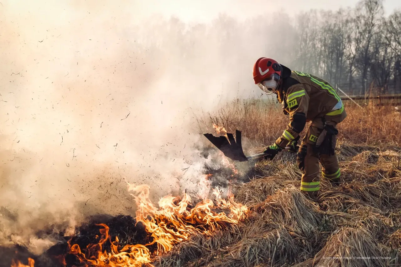
State Fire Service firefighter fighting a fire

For fire service (PSP / OSP) drone operators

Look for human — drone search and rescue software

Review photos, video and live feeds with AI assistance. Check every hint and coordinate teams on a shared search sectors map.

How it works

1. Load footage

Drop JPG photos, MP4/MOV videos with SRT subtitles or connect a live feed.

2. AI reviews

D-FINE looks for people in visible imagery. Separate thermal heat hints require operator review and do not confirm a person.

3. Check the hints

Places sorted by confidence, close-ups, drone position on the map, KML/CSV export.

From footage to an operator decision

Look for human helps fire service and SAR drone operators review footage. The D-FINE model runs in the browser and looks for people. Its output is a hint to check, not confirmation that a missing person has been found. Original-image close-ups, notes and statuses help organise verification.

Local analysis, shared coordination

Photos, video, frames and detections stay on the device. A separate sector map shares sector geometry, team information and searcher GPS reports with participants. It does not upload drone footage. App access requires an approved account; access to a particular shared search also requires membership.

Prepare before deployment

Download the model and prepare the app for offline use before losing coverage. Create a local operation, check photo GPS and match SRT subtitles to video. Shared maps and team position reporting need internet. Back up browser-stored results by exporting the whole operation.

Explore the features

Features for drone operators and search teams

Explore local AI photo, video and thermal review, live feeds, GPS maps, exports, local operations, shared sectors and SAR team tracking.

Read

How it works: from footage to a reviewed finding

Load footage, run local AI review, verify hints, inspect the map and export operation records. A practical workflow for drone search teams.

Read

AI person detection in drone photos and video

Local D-FINE review of drone photos and video. Inspect original crops, verify candidates and understand AI limits in missing person searches.

Read

Thermal imaging for missing person searches

Auxiliary heat hints for thermal drone footage. Operators verify the original and the ground; no hints do not rule out a person.

Read

Live drone video in the command center

Command center with camera, HDMI capture, screen sharing, HLS and MediaMTX WebRTC/WHEP. Local AI review, alarms and a detection log.

Read

Search sectors map and SAR team tracking

Draw search sectors, assign teams and view GPS positions and tracks from Traccar Client. Shared maps are restricted to approved search participants.

Read

Offline use and drone footage privacy

Photos, video and detections stay on your device. Prepare AI for offline review; shared sector maps and team GPS reporting require server connectivity.

Read

For fire services and search and rescue teams

Support for fire service and SAR drone operators: local AI review, verification, mapping and shared search sectors without uploading footage.

Read

Practical guides for drone operators and coordinators

Practical guides to AI-ready footage, DJI GPS and SRT, photos versus video, night thermal review, candidate verification and search sectors.

Read

Frequently asked questions about Look for human

Answers about drones, file formats, AI limits, thermal imagery, GPS, offline use, account approval and shared SAR team tracking.

Read

Prepare your device for a search

Create an operator account. Access requires administrator approval. Test your equipment and offline model before deployment.

Create account
USD 370 per device / year